Please enjoy the East Montpelier trails while staying on the marked trail. It is a privilege to walk on the private property of our generous landowners. Please respect this privilege by staying on the trail.
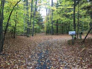
Town Forest-County Road-Peck Farm Trail – 1.8 miles +.5 mile spur – Haggett Rd or County Rd to Templeton Rd
Varied, gently rolling terrain with woodlands and farm lanes. Parts of this trail can be tricky to follow since it crosses some other trails so watch for the EMT signs. The Esther Salmi Memorial with Bench has a lovely view. There is a .5 mile spur to County road which skirts the White Cemetery. Note: no gravestones are exposed.
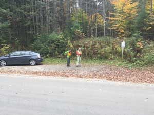
Parking Access Haggett Road at Town Forest Parking Area on right side of Haggett Rd – .75 m from County Rd
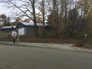
Parking Access Templeton Road in marked Parking Area east of Fire Station on Templeton Rd. Don’t park on road, or block access to Fire Station.
- Access Haggett Rd
- Access Templeton Rd
Holden-Templeton Trail – 1.3 miles – Templeton Rd to Center Road
This is a delightful trail and you will enjoy fields, woodlands, mountain views and gently rolling terrain. This trail is not open to bicycles, according to the wishes of a landowner. Go east down Templeton .25 mi and then turn right up next driveway. Trailhead is on right up the hill.
Parking Access on Templeton Road in marked Parking Area east of Fire Station on Templeton Rd. Don’t park on road, or block access to Fire Station.
Pull off Parking Access Center Road (except in winter) for 3 or so cars at trailhead on west side of Center Rd just south of Templeton Farm.
Templeton-Fairmont Trail – 1.5 miles– Center Rd to Dodge
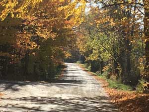
Walk south along narrow and scenic Center Rd .25 mi until the trail leaves the road to the left.
This lovely and varied section has panoramic views across farm fields to the east. There is a steep section near a sugar woods. You can read a fascinating historic marker at the edge of the woods near the Fairmont field. A little further on there is a bench with views of the mountains to the east.
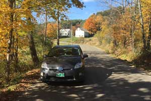
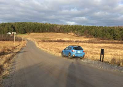
Parking Access Dodge Road: Space for a few cars in marked Parking Area off Dodge Rd .75 mi west of the 4 Corners School
Pull off Parking Access Center Road (except in winter) for 3 or so cars at trailhead on west side of Center Rd just south of Templeton Farm.
- Access – Center Rd
- Access – Dodge Rd
Mallory Brook Trail – 1.5 miles – Johnson Rd to Cherry Tree Hill Rd
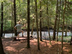
For the foreseeable future we recommend crossing the stream only during low water flow by “fording” or “rock-hopping” as the bridge has been washed out. Future plans to build a new bridge. We have marked a new section of trail, which takes you to a better location for this. There may be times when it is not possible to cross. Stay safe!
The trail provides the experience of a wilderness trail with stone stairways, specimen White Pine, Hemlock and Cedar trees, and an exciting river crossing. The conservation easement here allows for “freedom to roam” to explore the river course. You may explore or hike as long as you do not remove, cut or move anything. Terrain and wet conditions mean trail is not suitable for biking.
Parking Access Johnson Road: Parking for 4 cars at the end of Johnson Rd
Parking Access Cherry Tree Hill Road: There is parking for a number of cars in a parking lot off Cherry Tree Hill
- Access – Johnson Rd
- Access – Cherry Tree Hill Rd
Bobolink Trail – 1.9 miles Cherry Tree Hill Road to Towne Hill Road, 1.7 miles if continuing on from end of Mallory Brook trail.
The gentle up and down terrain takes you through mixed hardwood forest open white pines, alder thicket, fern understory and onto a beautiful new bridge where you can picnic or cool off in the stream. The trail ends at Bobolink Farm where you can buy some lamb or wool products.
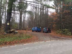
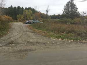
Parking Access Cherry Tree Hill: There is parking for a number of cars in a parking lot off Cherry Tree Hill as in picture above.
Parking Access Towne Hill Road: Parking space off Towne Hill Road at bottom of hill near farm (look for EMT sign post).
Karen Clark Trail – 1 mile – Wheeler Rd to U-32 High School system
This old farm road winds through a mature hemlock stand and over a boardwalk to U-32 and the proposed access to Cross Vermont Trail, via U-32 Trails. Absolutely No Dogs off Leash on school property.
Parking Access Junction of Schoolhouse Rd and Wheeler Rd. : There is room to pull off near the trailhead – See photo below.
Sparrow Farm – Montpelier Trail – 1.3 m Sparrow Farm Rd to Montpelier Town Line – then 1 m to Montpelier Rec Field
Trail is flat at upper end near Sparrow Farm’s fields and has a long boardwalk across a wetland. The trail is quite steep lower down, and winds through an impressive stand of old growth Hemlock. It joins the Montpelier Park trail system at the bottom. Check the Hubbard & North Branch Parks & Trails (PDF) map online since that trail system has many route options. https://www.montpelier-vt.org/211/Park-Maps
Parking Access Sparrow Farm Road: Limited pull-off parking south side of Sparrow Farm Rd south of Jacobs Rd intersection.
Parking Access Montpelier Rec Field: See Montpelier Rec Dept for map of this end.
We share maintenance with the Montpelier Area Mountain Bike Association (MAMBA).
- Access – Wheeler Rd
- Access – Sparrow Farm Rd
Ormsbee Trail – 1 m + .5 m Horse Shoe Loop – Powder Horn Glen Rd to Center Rd
This loop trail skirts the Fairmont fields, then winds through Hemlocks & mixed hardwoods. Trail spur marked VISTA leads to a bench with views of working farms, Spruce Mountain, and the White Mountains on a clear day. Bonus trails connect to the loop; Starr/Dworkin loop trails are marked with red or black arrows and trail maps. Go north on Center Rd to continue on more EMTI trails 2/3 miles away.
Parking Access Center Road: Pull-off parking for 2 cars on Center Rd across from trailhead.
Old Powder Horn Glen parking has now been closed.
- Center Road Pull-Off

